Intterra is the info you've
always needed.
Get a centralized, visual picture of your resources, the fireline, your preplans, and more, all in near real-time, no matter where you are.

What is Intterra?
Your Go-To Tool for the Intel You Need
Intterra is used by some of the country’s busiest firefighting and emergency services agencies, helping them harness their digital data to save lives and protect property.


A Centralized Visual Interface for R3™ Risk – Response – Resilience

- Operations
- Preplanning
- Incident Management
- Reporting & Analytics
- Operations
- Preplanning
- Incident Management
- Reporting & Analytics
Mitigate and manage risks and leverage data to inform intelligent response to enhance your community’s resilience.
Intterra gives you your first-ever complete picture of what you’re dealing with on a moment-by-moment basis so you can make the right decisions at the right time. Manage emerging incidents, develop effective preplans, and prepare for special events in a single, common operational picture. And when you need to report to your stakeholders, Intterra will arm you with unique insights about your agency, enabling you to share your story of effective, responsive community service.

What is Intterra?
Operations
For Battalion Chiefs and anyone in your department who needs to see everything going on across your response area, Intterra Operations gives you up-to-the-moment, geospatial intel to make decisions and trade-offs that will keep lives and property safe.
What is Intterra?
Operations

For Battalion Chiefs and anyone in your department who needs to see everything going on across your response area, Intterra Operations gives you up-to-the-moment, geospatial intel to make decisions and trade-offs that will keep lives and property safe.
What is Intterra?
Preplanning
Intterra streamlines your pre-planning for both structure and wildfire. Crews in the field enter data into the same Intterra interface response teams use for immediate, simultaneous data sharing alongside your operational data.

What is Intterra?
Incident Management
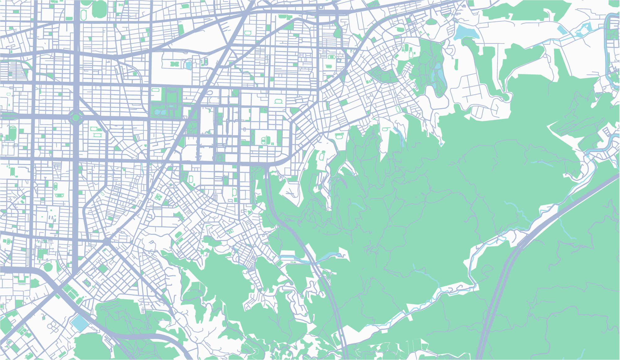
Get a visual summary of everything happening in the field and zoom into individual incidents. Icons and industry-standard symbology on your map show crucial information such as resources, critical infrastructure, incoming calls, current incidents, and more. Immediately share intel with cooperators. Access Intterra from any device, even when comms are down.
What is Intterra?
Incident Management

Get a visual summary of everything happening in the field and zoom into individual incidents. Icons and industry-standard symbology on your map show crucial information such as resources, critical infrastructure, incoming calls, current incidents, and more. Immediately share intel with cooperators. Access Intterra from any device, even when comms are down.
What is Intterra?
Reporting & Analytics
Get analytics and insights about your agency so you can continually improve service and report back to stakeholders. Understand unit performance, incident response and community risk with the ability to drill into response, times by shift, and call type.
What is Intterra?
Reporting & Analytics

Get analytics and insights about your agency so you can continually improve service and report back to stakeholders. Understand unit performance, incident response and community risk with the ability to drill into response, times by shift, and call type.
What is Intterra?
Wildfire Tools
Intterra provides the tools and information to manage your wildland and WUI initiatives and events. See aircraft and satellite imagery and data. Mobilize utility crews. Track fuels treatments and keep an eye on assets at risk. And monitor interagency wildfire response in one centralized view. Receive alerts about significant infrared detections, view and map satellite imagery over incidents, set an attack approach, assess damage and more.

What is Intterra?
Wildfire Tools

Intterra provides the tools and information to manage your wildland and WUI initiatives and events. See aircraft and satellite imagery and data. Mobilize utility crews. Track fuels treatments and keep an eye on assets at risk. And monitor interagency wildfire response in one centralized view. Receive alerts about significant infrared detections, view and map satellite imagery over incidents, set an attack approach, assess damage and more.
What is Intterra?
Mobile and In the Field.
Intterra is cloud-based and works on any device. Sharing data is easy between you and your crews, between cooperators, and with other first responders.
User-Friendly
Use the same intuitive screens and tools across devices to speed up data capture and access.
Cloud Sync
Two-way sync keeps all data updated across all users.
Real-Time
Data displays immediately – with no system lags.
More Data
Everything you collect, capture and consolidate – in a single, visual interface.
Field Mapping
Add map features using GPS to track your device location.
Online/Offline Access
Enter updates online or offline – data will sync as soon as comms are available.

User-Friendly
Use the same intuitive screens and tools across devices to speed up data capture and access.
Cloud Sync
Two-way sync keeps all data updated across all users.
Real-Time
Data displays immediately – with no system lags.
Field Mapping
Add map features using GPS to track your device location.
More Data
Everything you collect, capture and combine – available in a single, visual interface.
Online/Offline Access
Enter updates online or offline – data will sync as soon as comms are available.